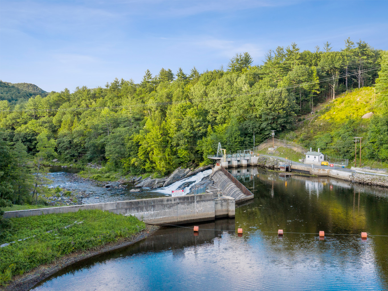
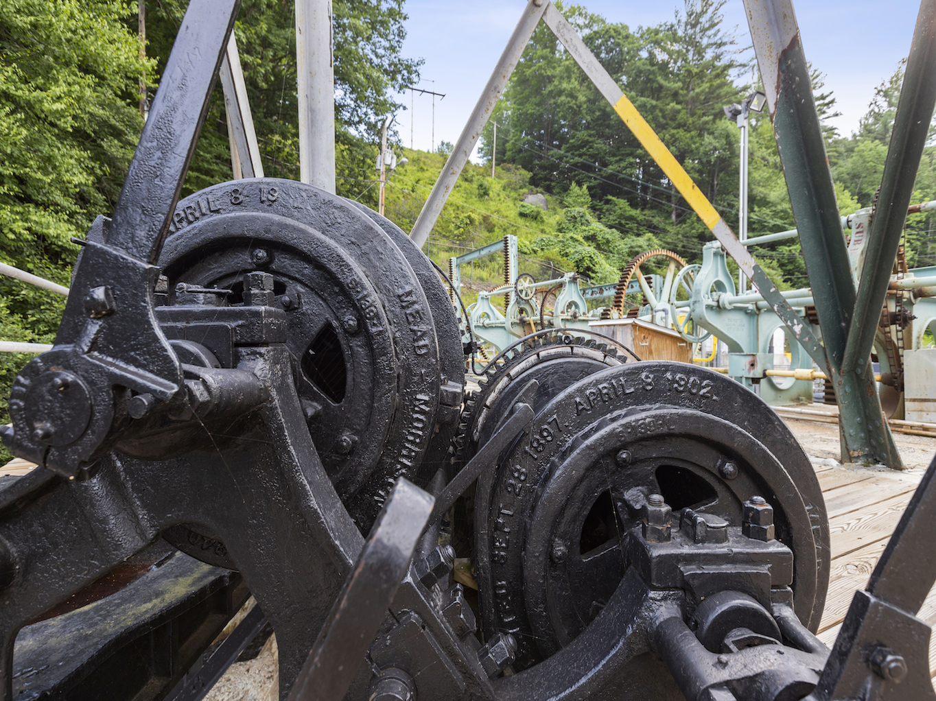
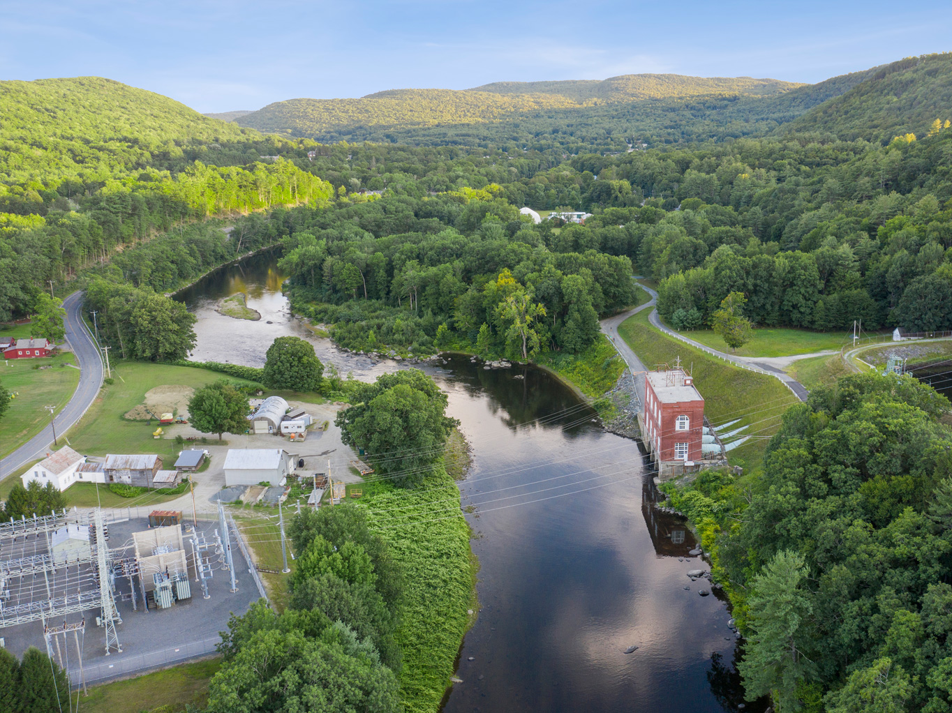
Deerfield No. 4 Station
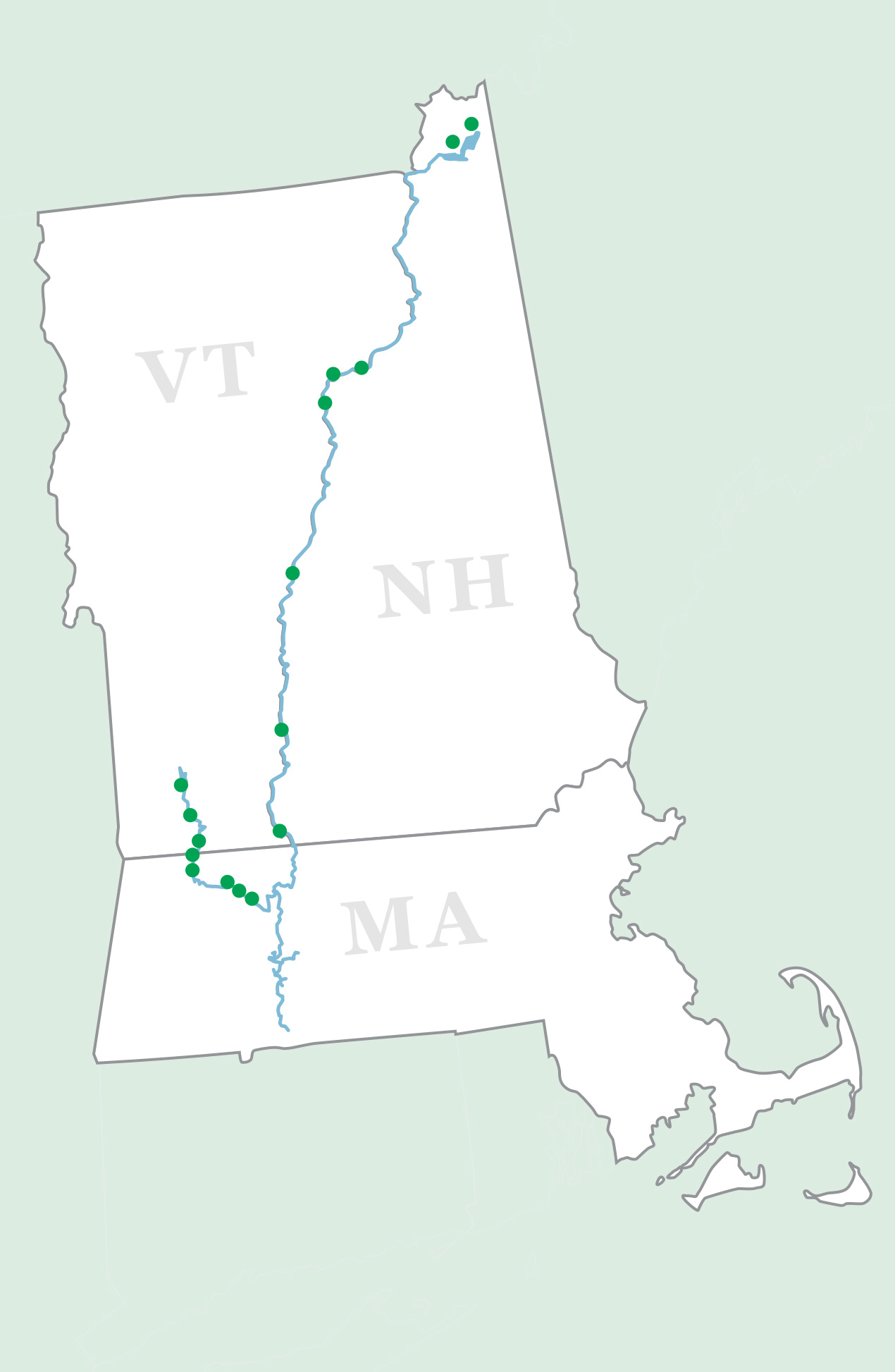
Deerfield No. 4 Station and Dam, located on the Deerfield River in Buckland and Shelburne, Massachusetts are managed as part of the Deerfield River Hydroelectric Project (FERC License No. P-2323).
- 75-acre, 2.2-mile long reservoir at 469.66 feet above sea level
- 5.00 feet of useable storage managed seasonally
- A 1,500-foot long concrete lined tunnel connects the dam to the forebay at the station
- 6 megawatts of generation capacity with 3 General Electric generators with Francis waterwheels
- FERC License No. P-2323, issued April 4, 1997, expires March 31, 2037 (40 years)
- Certified as Low Impact Hydropower by Low Impact Hydropower Institute
Available Recreation Activities
A picnic grounds and a fisherman’s access with gravel boat ramp are located along the river. For more detailed recreation information and maps, please click here.
Great River Hydro’s recreation facilities are open to the public on a day-use basis only, from one half-hour before sunrise to one half-hour after sunset. Please click here for a complete list of rules.